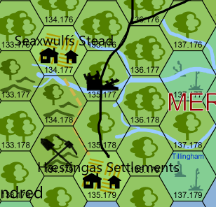
A collection of maps for the Long Night Campaign.
Anglo-Saxon Migration Period c. 400 – c. 500 (Wikipedia Commons)
Britain in the Dark Ages (1965 Ordnance Survey Map via Wikipedia Commons)
Britain in the Dark Ages, South (1935 Ordnance Survey Map vis Wikipedia Commons)
Britain in the Dark Ages, North (1938 Ordnance Survey Map vis Wikipedia Commons)
Britainnia c. 530 (Howard Wiseman’s site of maps containing various reconstructed boundaries based on his interpretation of primary sources)
Southern Shore Section of Britain c. 449 – c. 500 (Wikipedia Commons)
The Forest of Anderida, Roman Era (Wikipedia Commons)